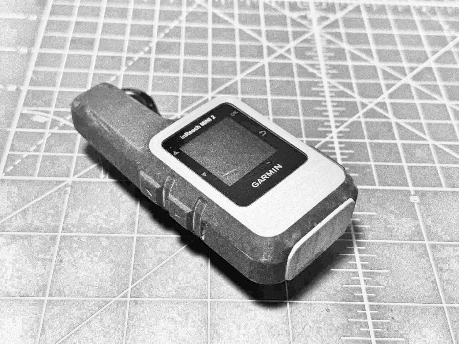
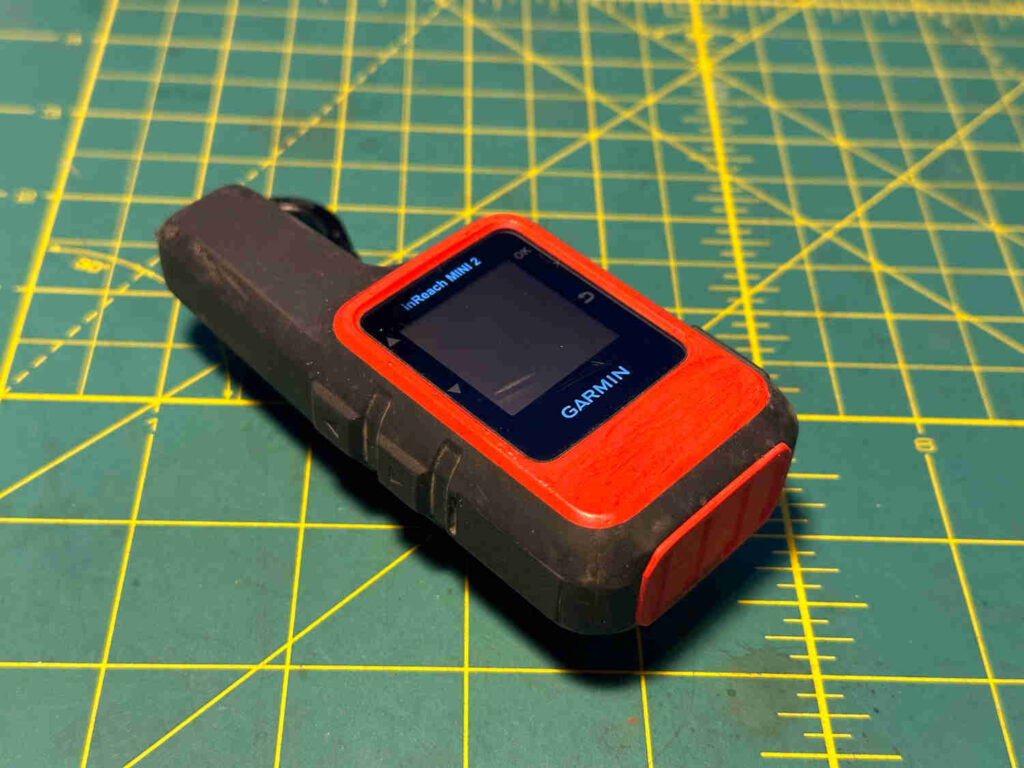
One of my “ten essentials” when heading out into the backcountry is my Garmin inReach Mini 2. It’s been an incredibly useful tool for getting texts out to my partner (or whomever) when completely out of cell service, which tends to be quite frequent ’round these parts. Aside from the convenience of friendly texts, it provides a sense of security as an oh shit device incase things get real bad and self-rescuing is not an option.
Downside: the little sucker tends to fly out of pockets as I’m biking down bumpy trails or ‘shwacking through thick vegetation. Using a biner to clip it onto a pack is 100% advisable and I follow that advice 90% of the time.
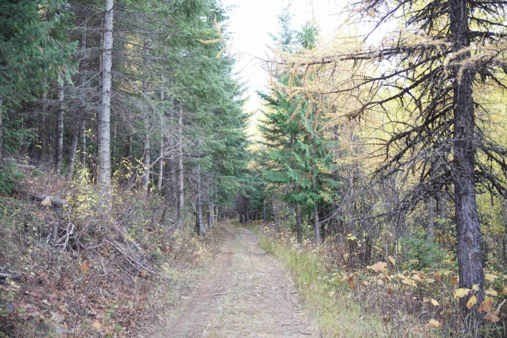
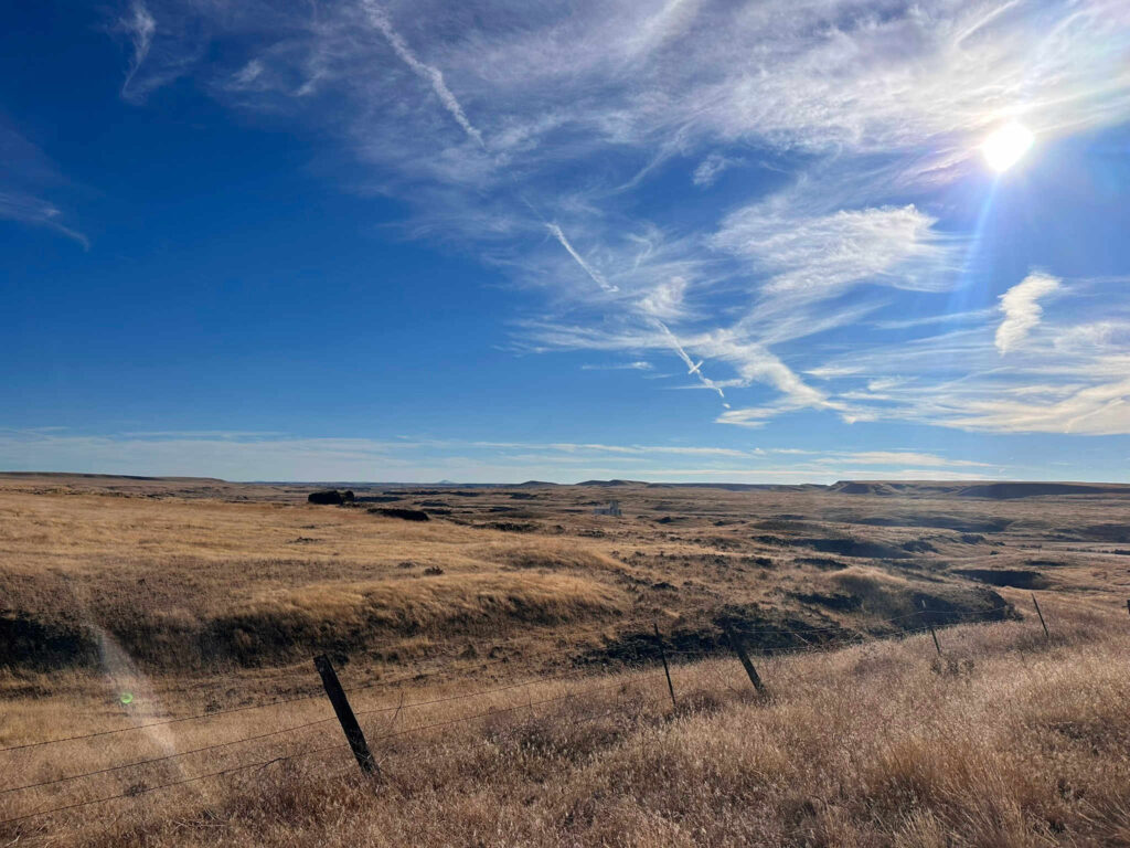
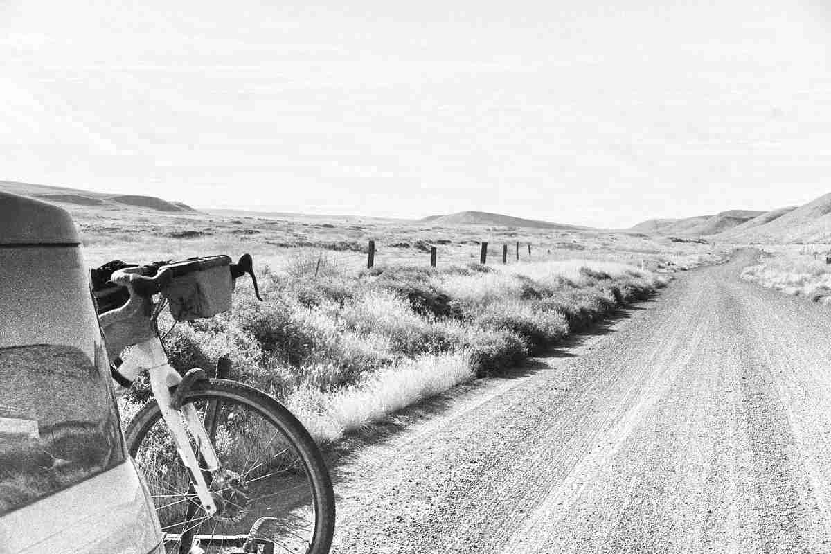
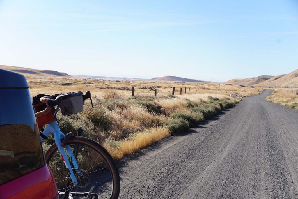
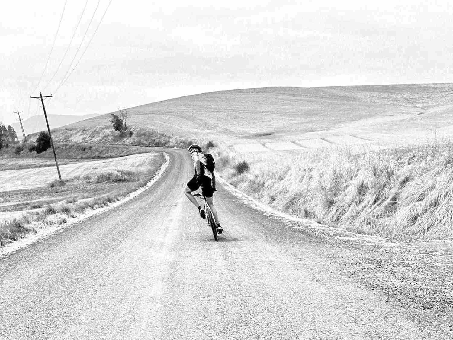
Last month I got out for one last bikepacking overnighter before the cold season fully took grasp. My inReach was tucked into a little pocket on the side of one of my handlebar bags and lived there the entire trip–sans clip. The ride was a rough one, both in road surface and in general effort. We were pretty spent by the end of it.
Following weekend as I prepped for a hike it occurred to me that the inReach wasn’t anywhere I expected it to be.
Not in my usual drawer of outdoor electronics. Not connected to my SOTA backpack. Not in my bike bag pocket where I had the weekend before. Not floating around in the back of the Honda. And not in my buddy’s truck.
Sure, when we were bombing down that one hill on Day 2 and hit some of the roughest washboard this side of the Cascades, the little guy musta jumped out my bag and bounced his way to freedom. I immediately began looking for a replacement, but it hurt to think about paying for a brand-new one… even though, it’s invaluable.
I gave it a week. Then two. Occasionally looking through the local Craiglist for postings of a found, or even recognizable for sale, inReach. Nada.
Well fuck me if just a few hours ago I didn’t go looking for a usb power brick when there it was. Sitting right in the drawer where it shouldn’t be, but I can see how it seemed logical at the time in my post-ride haze.
All this is to say, I’m glad that I’ve found my inReach. And I swear that I’ll never travel with it unsecured again.
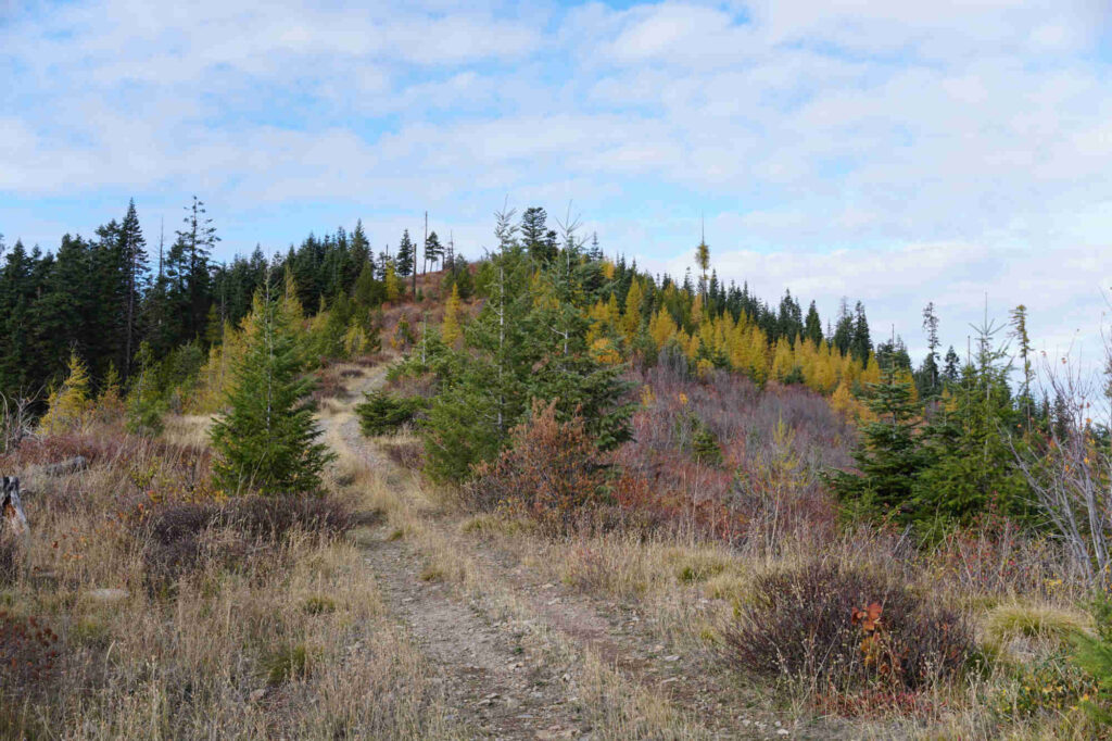
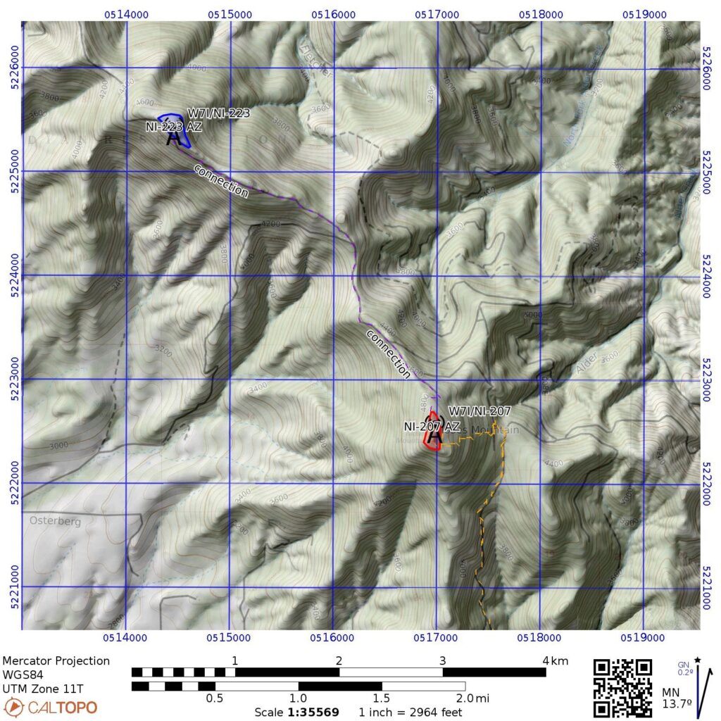
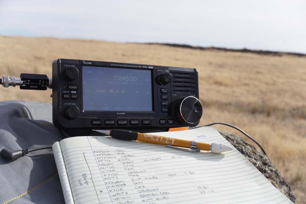
Found a couple of not-yet-activated summits just north of me and across the state line into Idaho: Moses Mountain W7I/NI-207 and Tensed Benchmark W7I/NI-223. The two activation zones are only about 5.5km from eachother and the weather for this day was looking prime so I figured this would be a good opp for my first two-summit day.
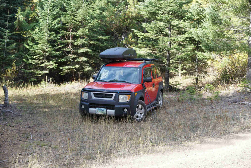
The drive out wasn’t too bad. AWD definitely needed and the clearance on my Honda Element was plenty. It was logging country and whether or not people were supposed to be out there was a little questionable, but nothing explicitly posted no trespassing, so I parked down the hill from Moses Mountain and bit off the main road.
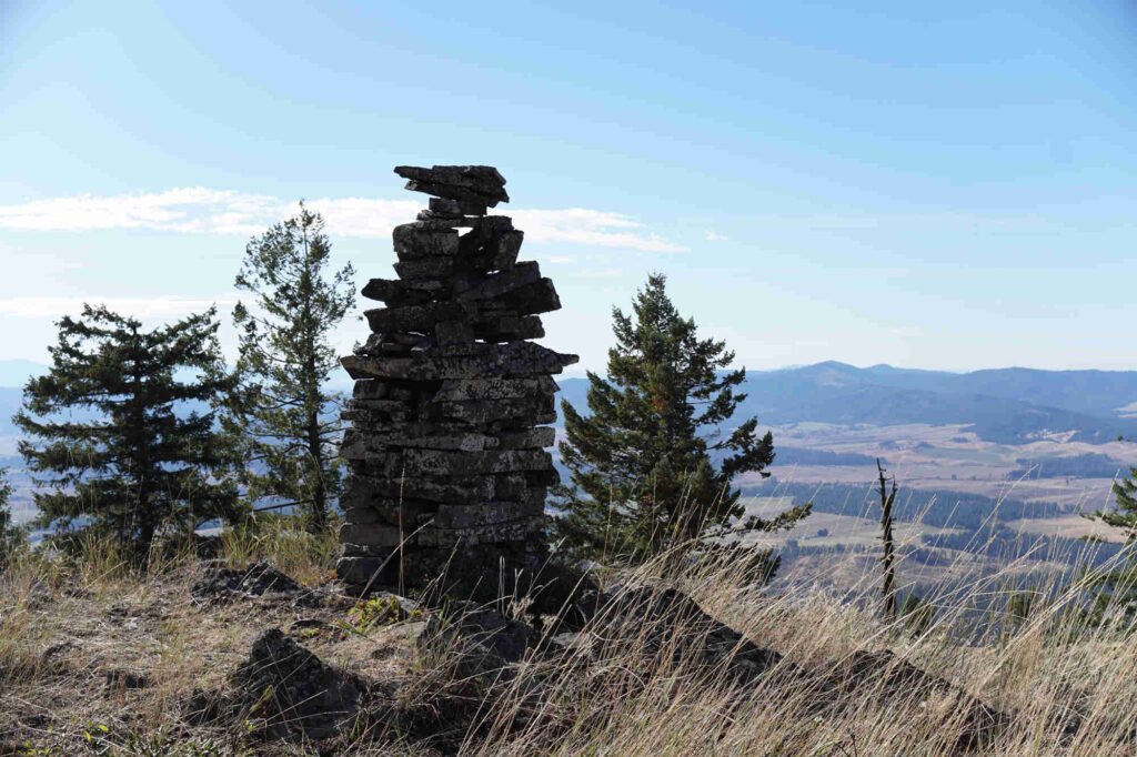
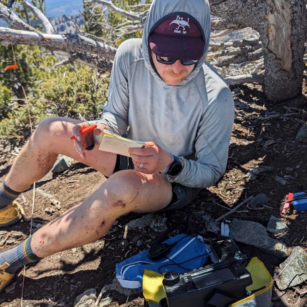
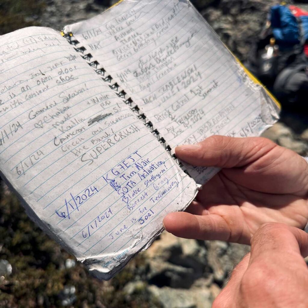
Tensed BM was first and very nice hike along two-track trail pretty much the entire way. At the summit a big rock cairn and that felt like a good spot to set up the radio and get cracking. After 8 QSOs I packed up, at my slice of leftover pizza from earlier in the week, and headed back towards Moses Mtn.
The trail up towards Moses’ peak fizzled out quickly it became a bushwhack up the side of the hill. Nothing impassable, but I got some good leg scratching today. After getting 7 QSOs in the bag, I decided it was probably time to start my way back down. The air was chilling and the sun was going down on this early fall day.
Big thanks to WW7D, my #1 all time chaser, who sought me out on both summits today.
The ridge hike up to Tensed Benchmark.AZ of Moses Mountain.Tensed Benchmark cairn.Post-activation cheers.
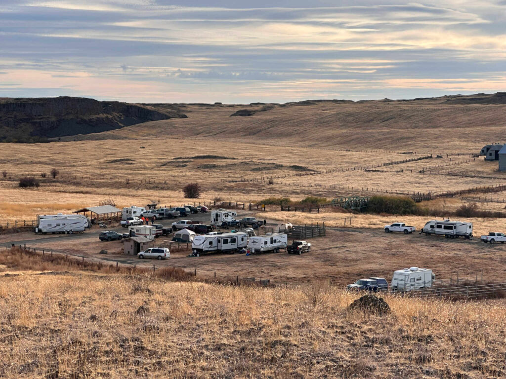
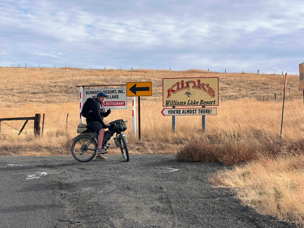
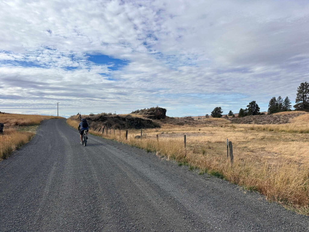
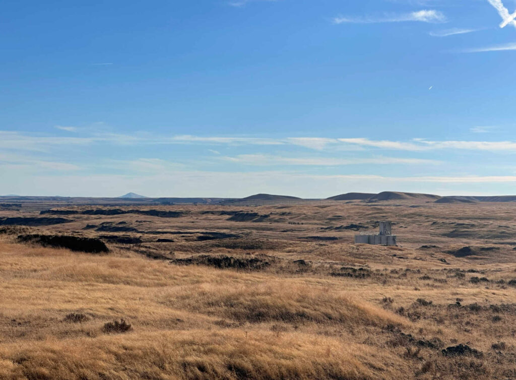
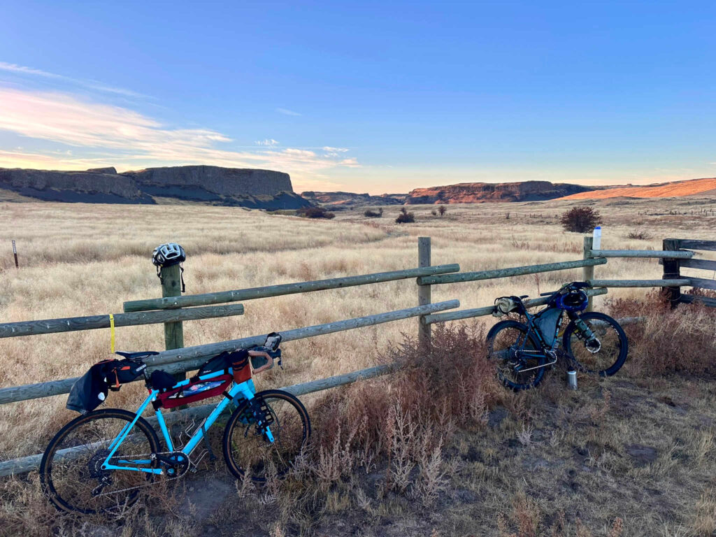
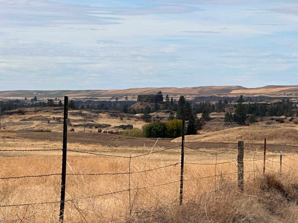
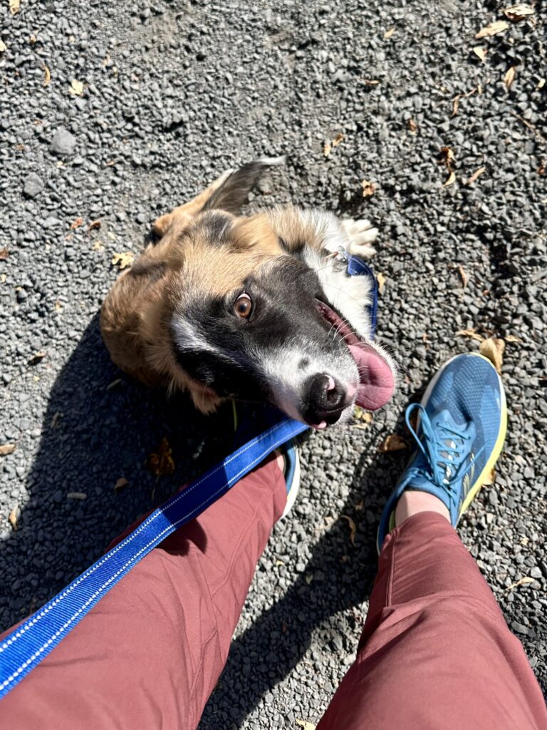
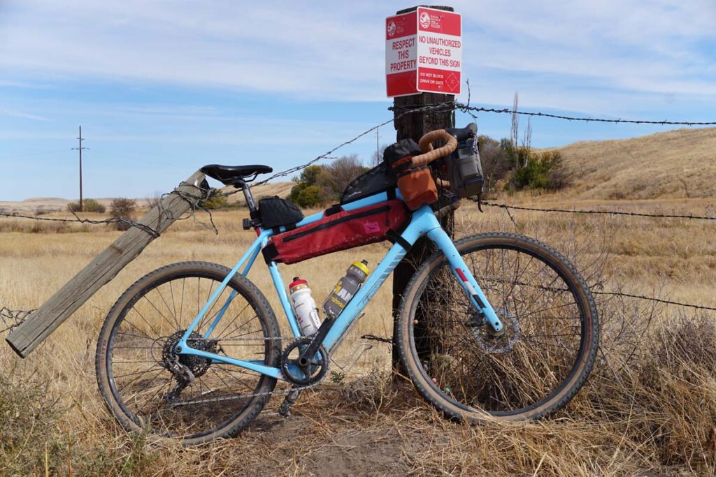
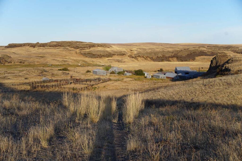
Hit my buddy Keith with the idea for one last quick gravel overnighter. He fired back pretty quickly with a route he’d had in his back pocket; it was 100 miles through some really cool high desert country, camping at Escure Ranch where I had spent a weekend working the Washington State Salmon Run just a month prior.
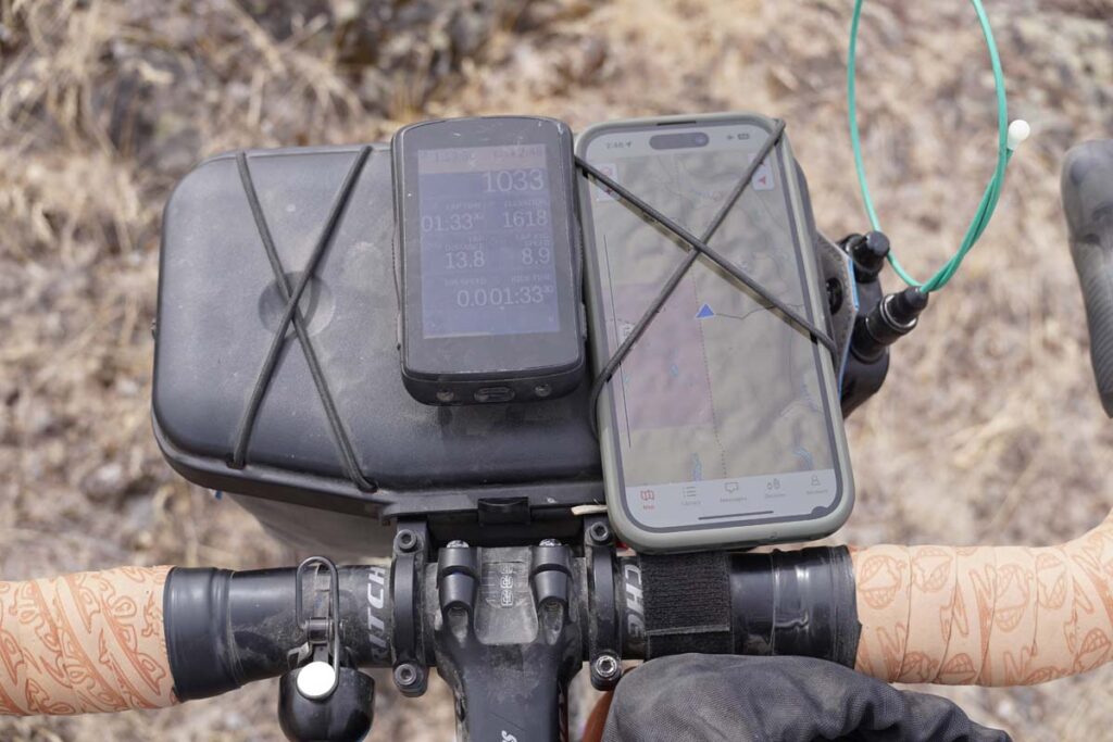
The weather was looking prime with temps in the mid-60’s and no rain, but oh my, the wind forecast. And the wind did not disappoint. The day one ride was 100% into the wind and that shit was pushing back at 15-20+ mph. That’s significant when you’re already weighed down with 30 pounds of bikepacking gear & food. Not gonna lie: that was a real grind. The last 15 miles or so was a mental struggle. And then we got to camp.
I guess we’re not camping alone…
As we soon learned it was opening weekend for deer season and the typically ghost town empty BLM campground was teaming with trucks, trailers, and blaze orange. At that point, there was no plan B so we rolled in, got some looks, found a spot and set up our tents.
A light dinner, mild weather, and some shared Scotch before an early bed time. The return ride would be shorter in distance with the wind at our backs. It was a solid weekend resulting in some tired legs and refilled souls.
For the first time in my adult life, I have found myself without a dog companion. I rescued my first dog when I was in college, about 22 yrs old (Kloe, the best dog in the world and I still miss her dearly). Since then I’ve had as many as four dogs at once, two separate times.
Now, we’re taking a little break from being a dog-centric household. It’s freed up our weekends, weeknights, and ability to travel. And, we honestly were just so sad after losing our old dogs these past few years we couldn’t stand the thought of going through that again.
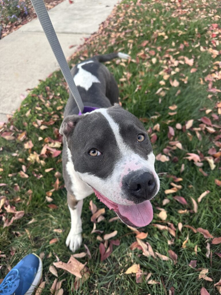
I have started volunteering with the local Humane Society as a dog walker; twice a week, I take a little time out of my workday and walk a doggo. It’s truly been fulfilling, and I’m going to go ahead and share my new dog friends here.
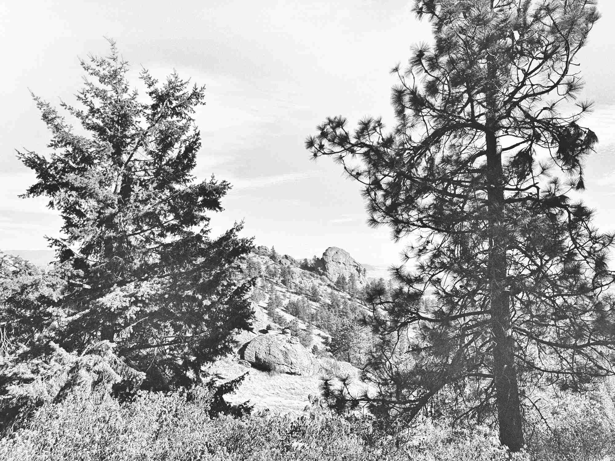
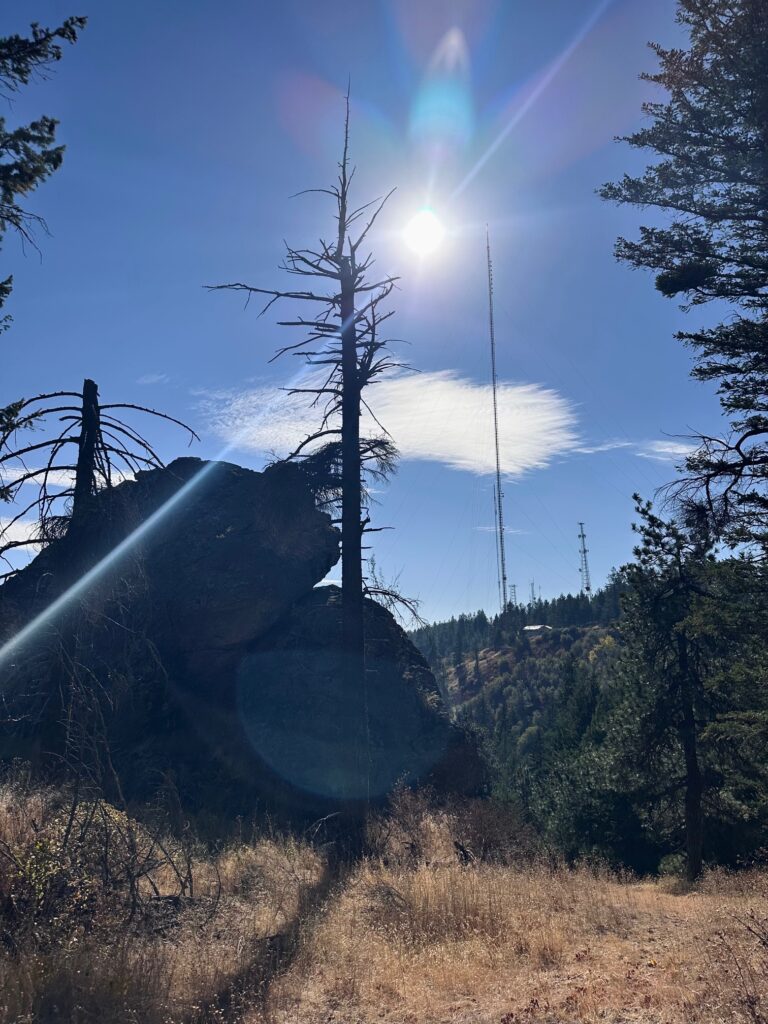
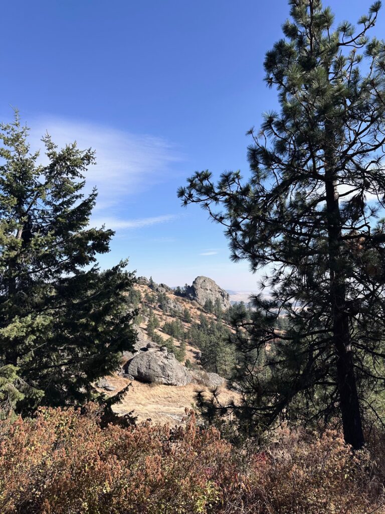
Popping up to Spokane to drop my mom off at the airport after her visit; might as well get in a SOTA. Krell Hill W7W/WE-021 was in a familiar area, I’ve hiked the Rocks of Sharon before and this AZ was just the next hill over from that. A quick 1.7-ish miles up (it was steep) led me to an area below a bunch of quite large teevee antenna towers.
The day was WINDY and warm, probably upper 60s. I found a good spot to park it next to some very large rock structures that I hoped might act as a bit of a windbreak. Mast deployed, wire up, and away we go.
The 20m band was rocking. I bopped around a bit to try find some POTA activators looking for contacts and nabbed three of ‘em, getting relatively decent signal reports in return: 42, 59, 59. I wasn’t sure how much the giant antenna array directly above me was going to affect my waves, man.
The 40m band, however, was dead quiet. Odd. I went ahead and spotted myself and quickly was hit up by my #1 chaser, WW7D who gave me a not-so-great 3-1 report; I guess there was a reason this band wasn’t seeing any action. I then heard N7KOM call loud and clear, whom I acknowledged but never heard a reply. Again, I’m blaming the band. A couple of more hunters connected with me and that was about it.
I got all I needed, wasn’t hearing anyone else, and needed to hit the Trader Joe’s before making the 90-minute drive back home. Packed it all up and called it a day.
This was a super easy summit to access, both trailhead and hike-wise. I’ll remember it early next year as I think it would make for a good winter SOTA.
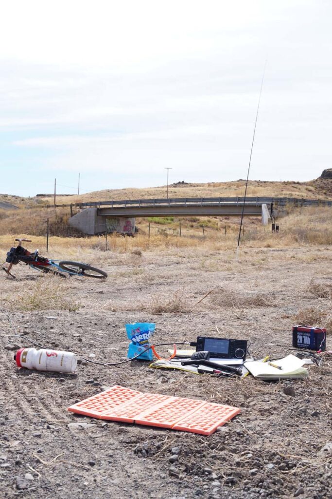
This upcoming weekend is the Washington State QSO party fondly known as the Salmon Run. For the uninitiated, a state QSO party is a friendly radio contest where operators try to make contacts with all or as many of the counties in the state as they can. Some counties would naturally be more difficult to contact based solely on low numbers of participants. This is all new to me so I’ll be learning via the trial-by-fire method.
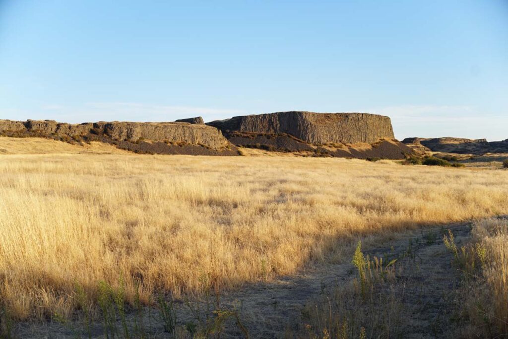
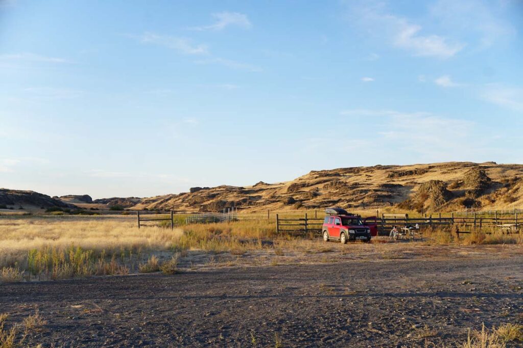
And because bikes, I’m going to be doing this “expedition style” by cycling around dirt roads & trails with my radio gear. I have identified a good general area to operate from that spans a couple of high-demand counties: Whitman and Adams. Rock Creek Recreation Site has a couple of water falls, a rough but relatively flat trail system, and allows for camping so I can crash overnight.
Once arriving to the parking/camping area early Saturday morning, I’ll head north about six miles to Revere Wildlife Area which happens to be a POTA activation spot in Whitman County. As this is nothing I’ve ever done before, I’ll probably sleuth around the frequencies a bit and make a few random contacts in order to get the exchange down. Then I’ll go ahead and spot myself for the park and see what happens.
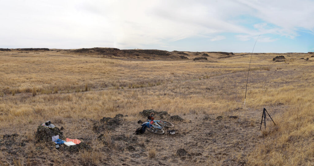
At some point I’ll probably get tired of sitting there and will move west into Adams County; there are a couple of lakes around that might be nice to set up at. Once I’m feeling mostly done for the day, I’ll ride back to the car for dinner and get camp set up. As the evening comes and the band conditions change, I’m hoping that I can get onto 80-meters and make some close-proximity contacts… we’ll see how successful that is (I’ve yet to get on 80 meters).
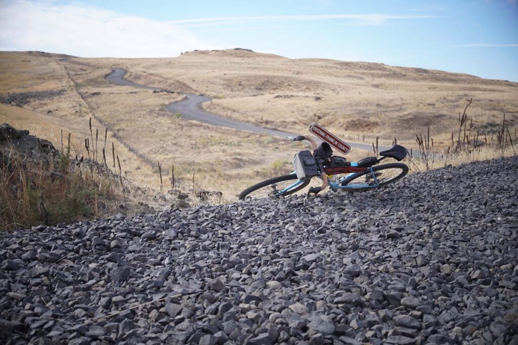
Sunday morning will be a drive south towards Washtucna where I’ve found a SOTA summit in Franklin County. This is going to be a bike (maybe a little hike) activation. I don’t know how much time I can commit to hanging out here but we’ll just see how it goes.
The Gear List:
Radio Equip.
Camp Comforts
Consumables
ICOM 705
Crazy Creek chair
homemade sandwiches
Dually 80–10 EFRW + 40/20/10 EFHW
NRS Snooze Pad
jerky & gorp
Wolf River Coils SOTA Special
Thermarest 20F down bag
breakfast oatmeal
MFJ-1976 120″ whip
JetBoil
bottle of wine
Bioenno 3Ah
Birkenstock EVA sandals
spf 50 sunscreen
Dakota 7Ah
Harbor Freight 400W inverter
tea & instant coffee
ICOM 50A handheld
Paperback
+++
Done and dusted. The weekend was a success in that I got on the air, made a bunch of great contacts and thoroughly enjoyed myself. There was some good riding and a few minor mishaps, but that’s what field work is! In the end I logged 82 QSOs in 32/39 counties and made my very first 80m contacts. Also spotted about two dozen mule deer and three coyotes over the two days.
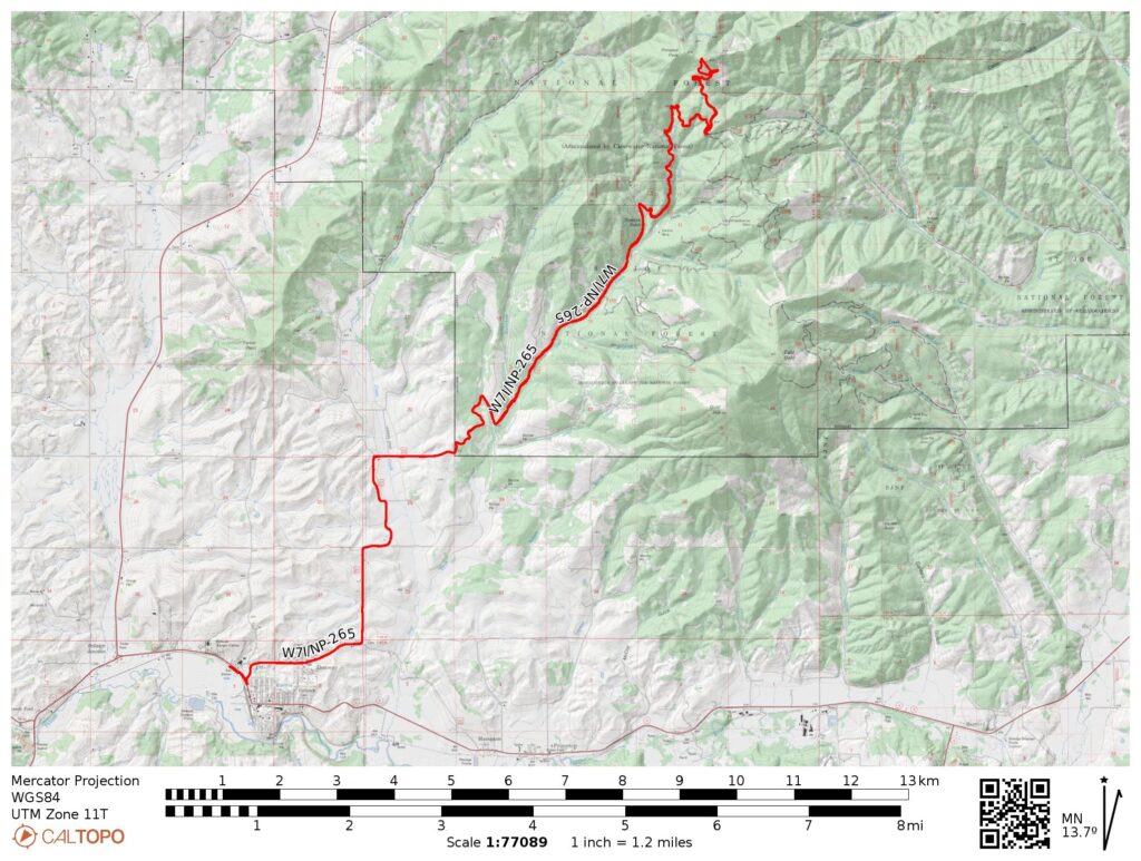
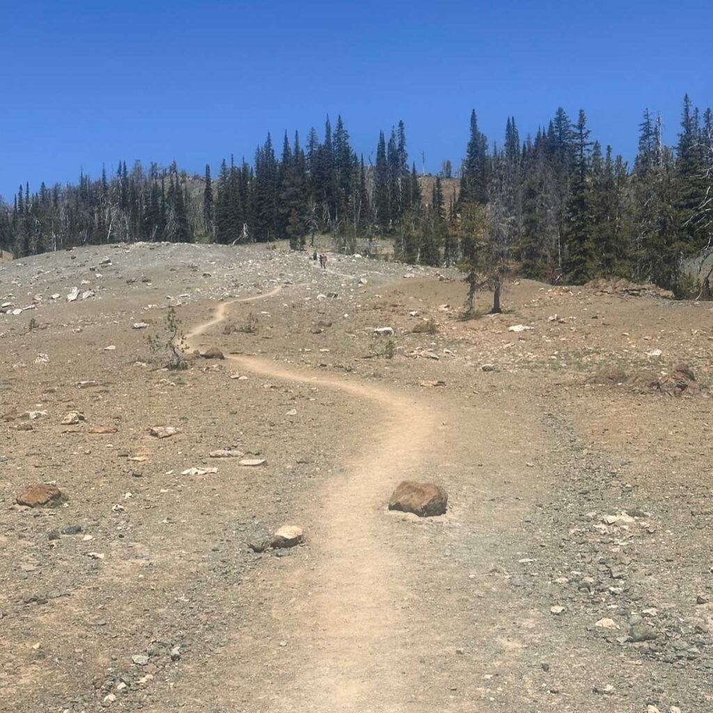
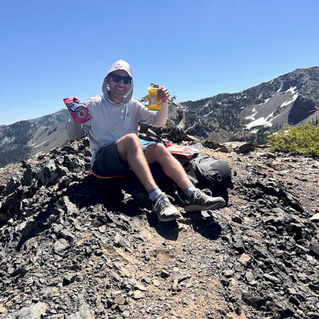
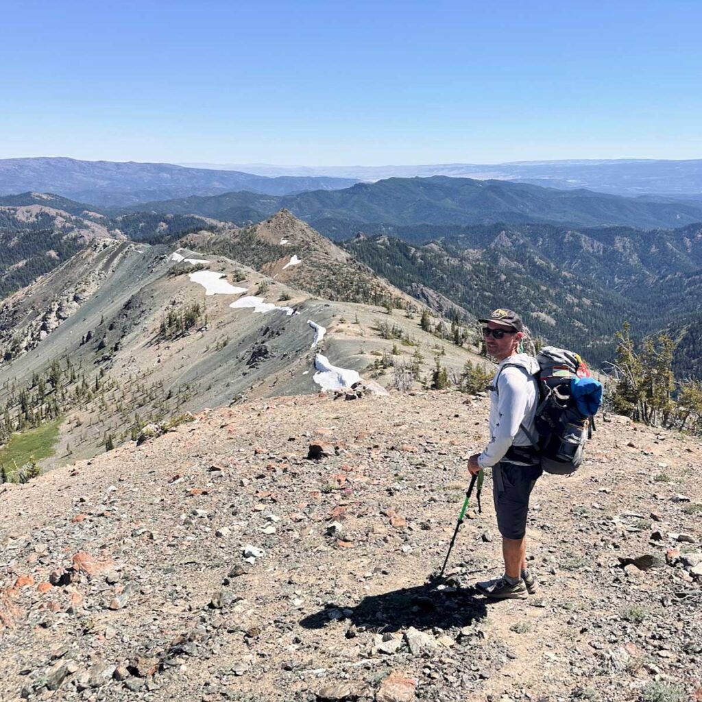
Naturally, I’ve been spending a fair amount of time looking at the map of my surrounding summits, plotting my next weekend. Prospect Peak W7I/NP-265 was this past weekend’s target; my brother-in-law was in town with his gravel bike so I selfishly plotted a rideable activation and invited Pete, my local riding buddy. The three of us met up in nearby Potlatch, Idaho where we refilled water bottles and watched the near-distant storm lightening and thunder.
The ride from Potlatch was about 14 miles with 2,350 ft of gain taking us near the activation zone. It was a surprisingly good route with good amount of climbing but nothing depleting. Once we got near the top, we stashed the bikes in bushes and shwacked the last 200 ft or so up to the summit.
On top I unrolled the Packtenna 20m EFHW, got it up in the air, spotted myself and almost immediately nailed down five contacts. The calls dried up and, without any other bands to work (and with riding buddies starting to look bored), I packed up and we rolled back out.
This was my 5th SOTA activation and, besides some 2m VHF, all of my HF contacts have been on 20m because… well that’s the only antenna I have. This is something I want to change so that I can work more potential chasers. There’s a project in my future.
Thank you to my chasers: KI7QEK, KJ7NDY, WB6POT, AG5HV, KF9D
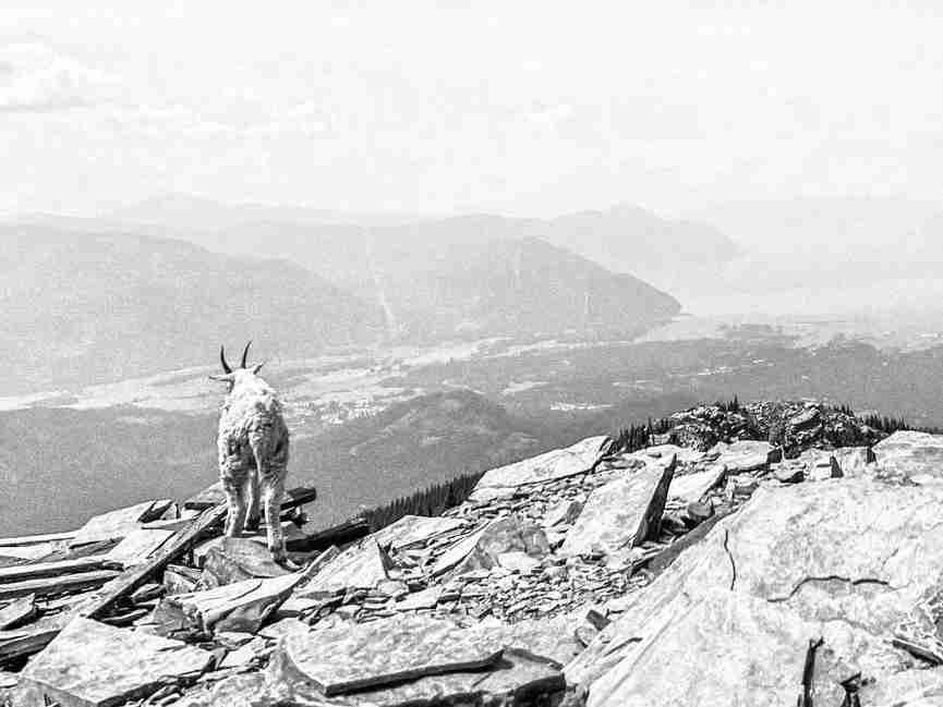
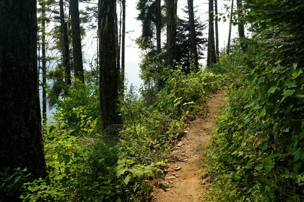
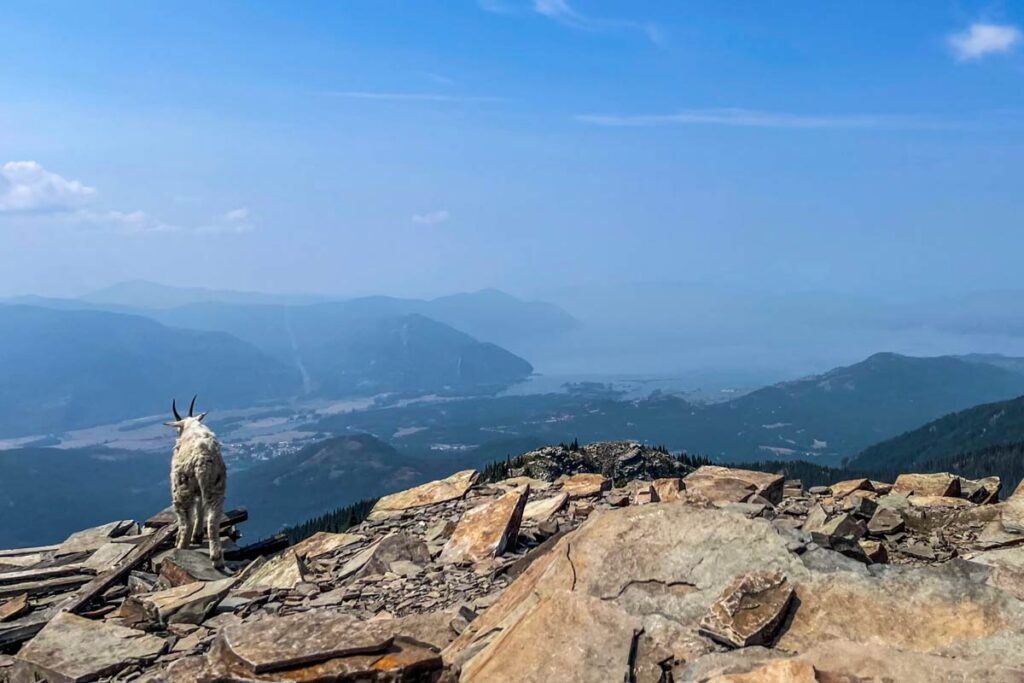
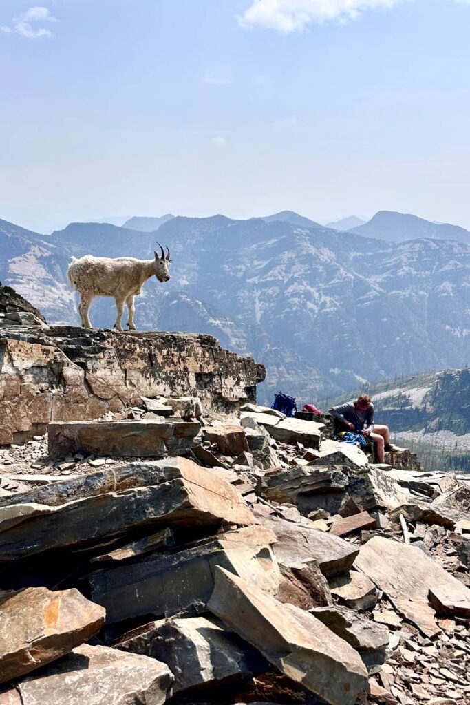
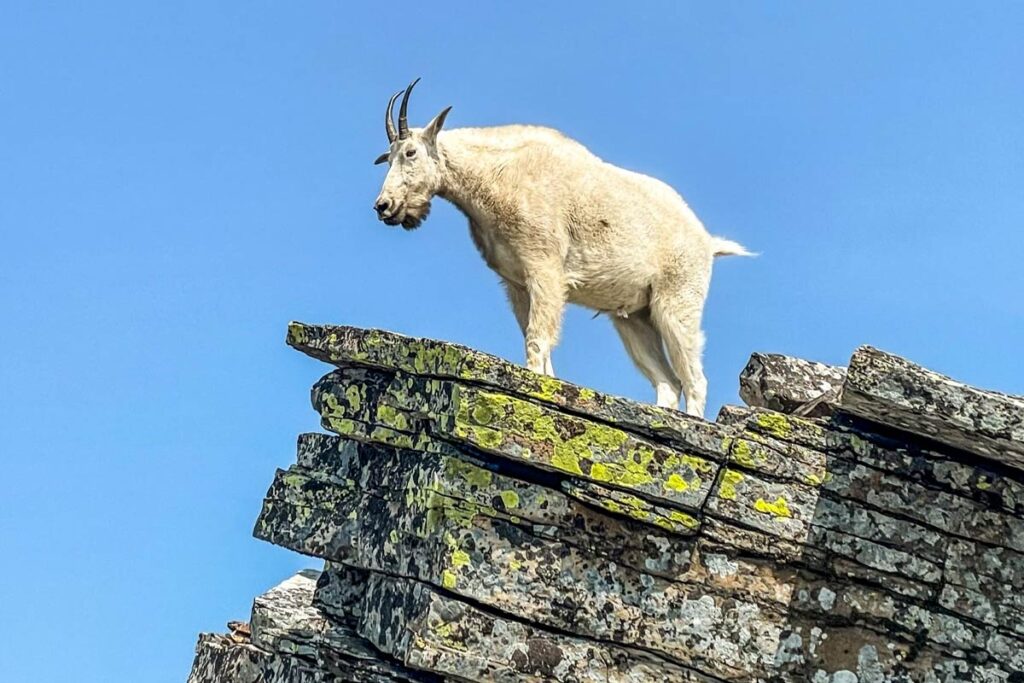
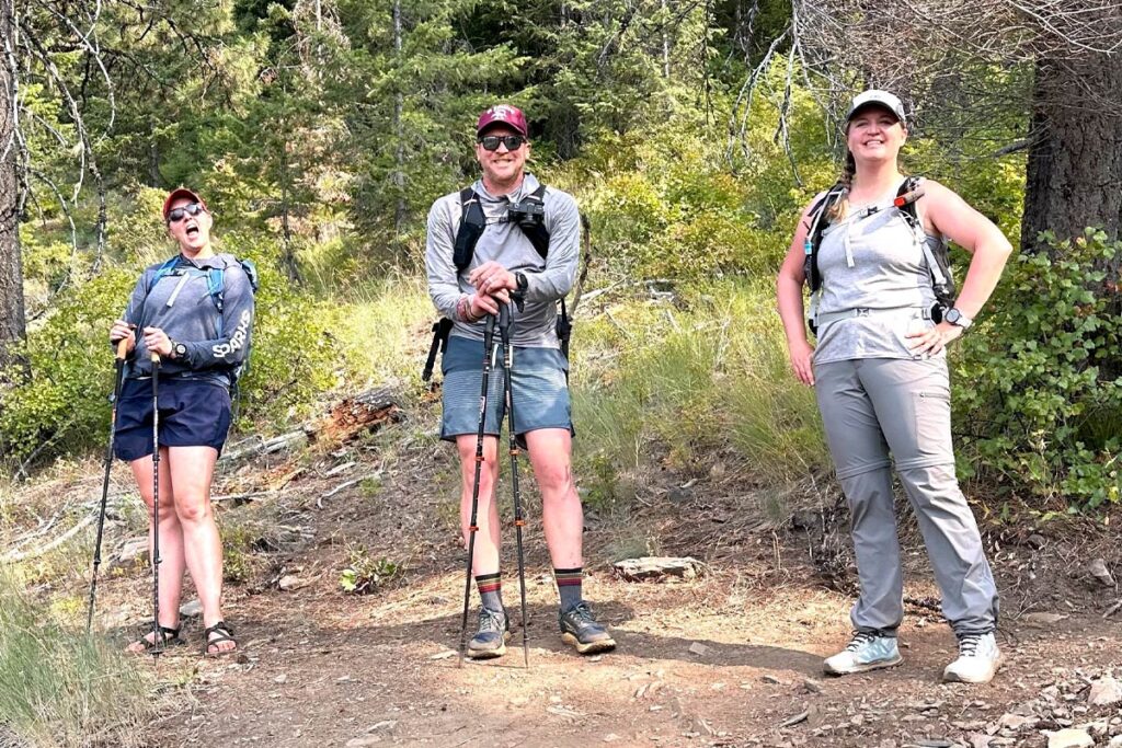
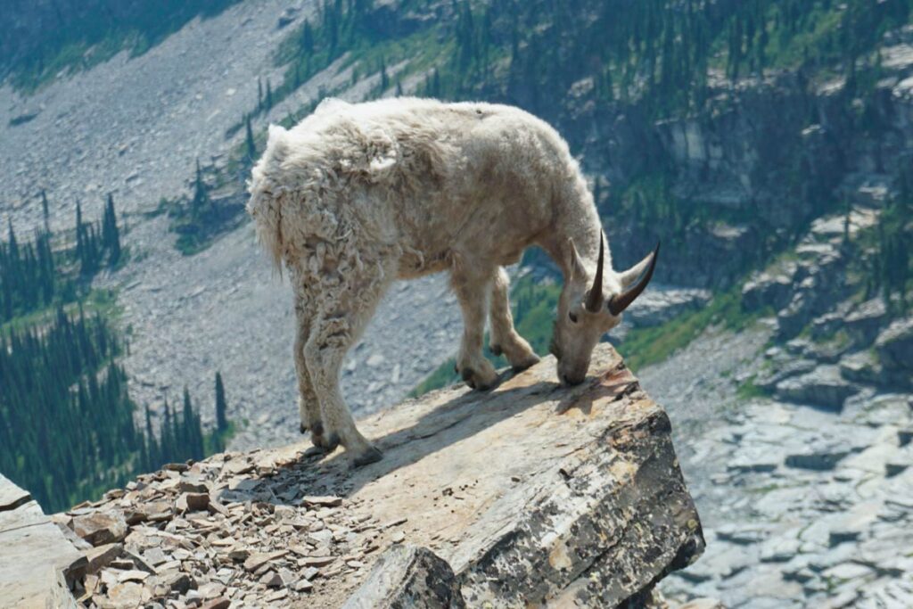
Some friends invited us along for a Northern Idaho weekend to hike the famed Scotchman Peak, just outside of Sandpoint. It didn’t take much convincing, that with the challenge of the hike, mountain goats at the top, the promise of beers with friends afterwards… oh and it’s SOTA summit. Go figure.
The trek to the top was steep but uneventful, at least until you break through the treeline, then the views start to hit. It was right about that point when our group paused when I took off ahead knowing I had some setting up to do. At the summit there was plenty of space to hang out so I found a little rock perch to operate from, strapped my mast to a snag, and got to work.
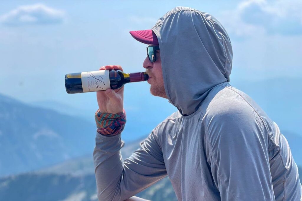
This was only my fourth SOTA activation; contacts seemed to be a little tricky that afternoon and I had friends waiting at the top, so I made QSOs and after no further chasers came forward I called it good. The mini bottle of Cabernet from the AirBNB tasted mighty fine at 7000ft, and the view wasn’t too shabby, either.
Thanks to my chasers: WA6KHK, WA7G, W0MNA, WV0X, K3ENE
This summer I really wanted to get out and do some multi-day backpacking and bag a few peaks. I have a few rough periods at work throughout the year, thankfully they only last a couple of weeks, but when they’re over I like to escape into the wilds for a day or three and try to undo all of the sitting and screen staring.
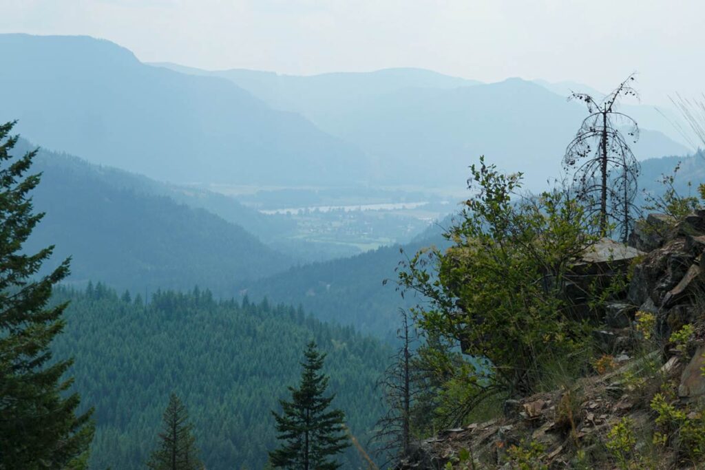
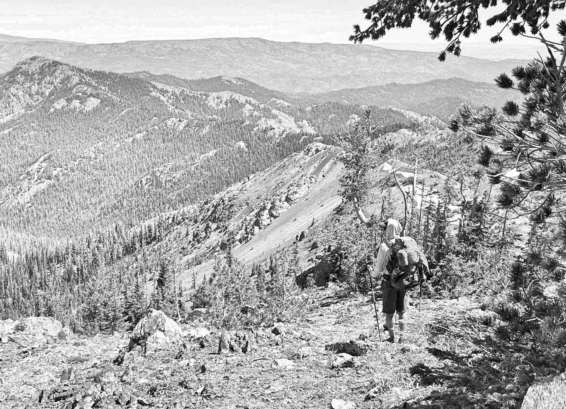
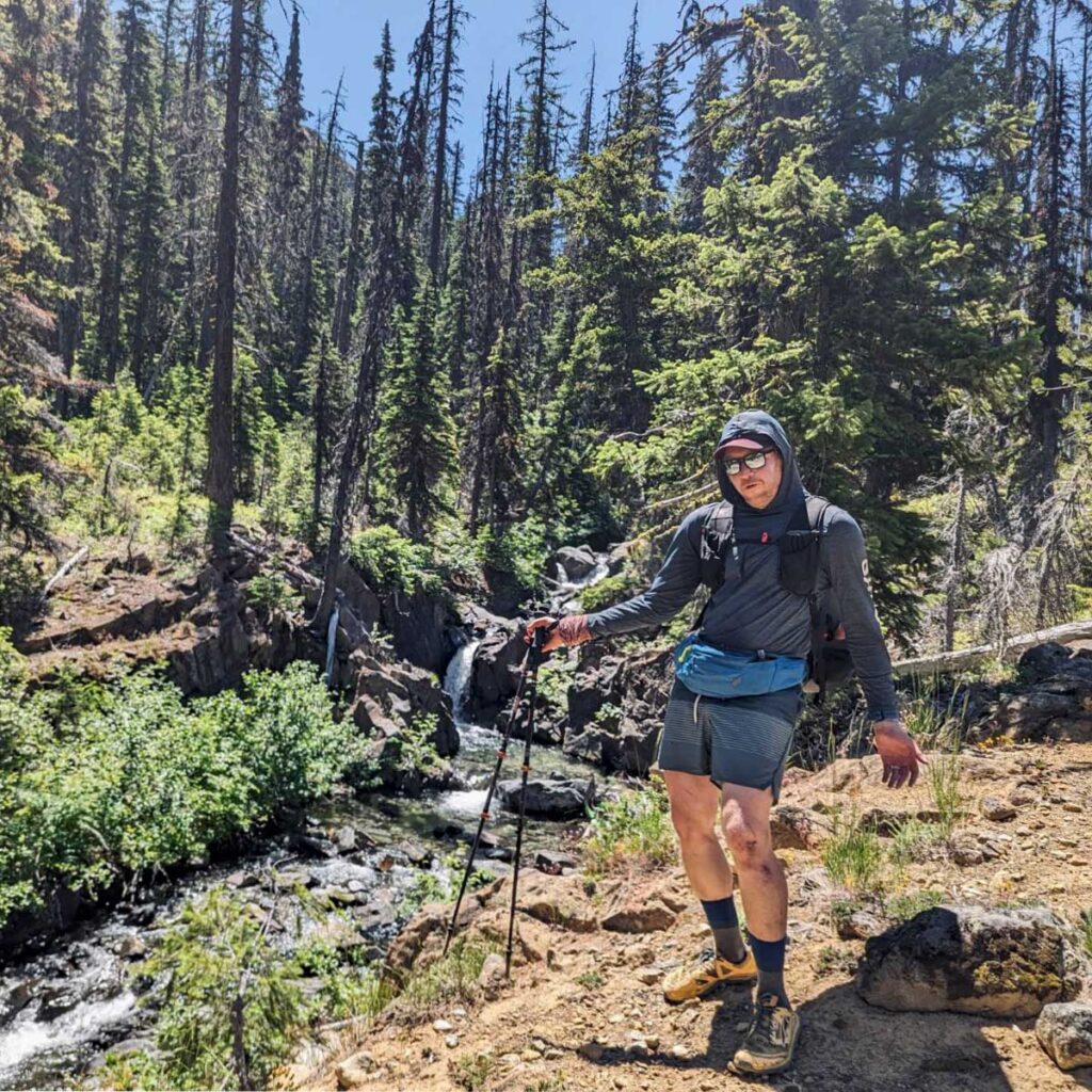
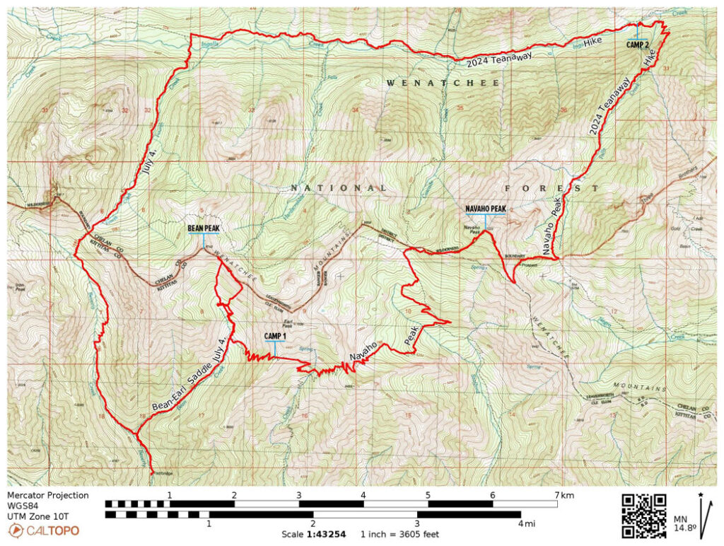
This Fourth of July weekend, I had planned out a 3-day, 37-mile route through the Wenatchee National Forest. Skirting along the southern side of the Enchantments, the hope was to avoid the crowds yet get a glimpse some of the amazing views.
Day One
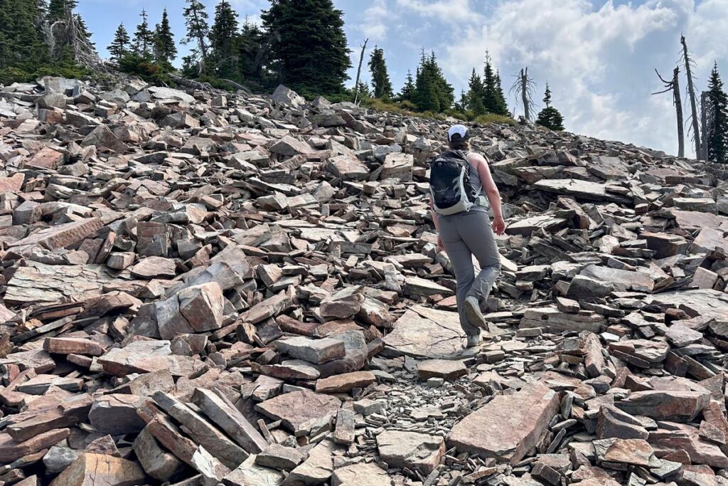
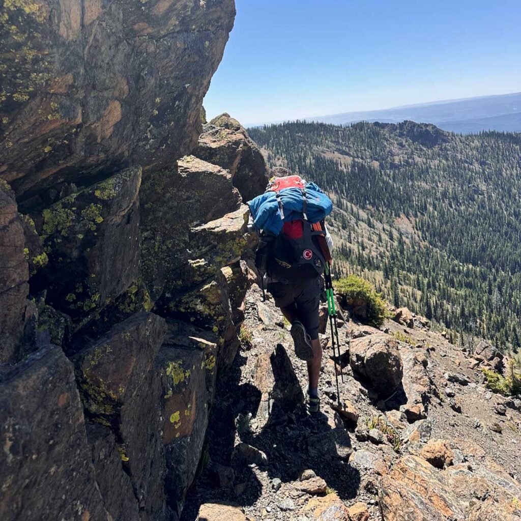
Getting our start at about 9am at the Beverly Creek Trailhead (elev 3823ft), the altitude gains started right off the bat. We veered east to follow the Bean Creek Trail and at about the 2 mile mark things opened up to where we could see our first target: Bean Peak. The next climb was spicy; gaining about 900ft in half a mile. Once getting up to the saddle and moving towards the peak, it was time for a break and a snack.
While working on peanut butter tortilla wraps and pondering on Bean Peak, we decided that it looked a little too technical for what we were wanting to attempt that day. What we really want to hit was Earl Peak, just a ridgeline traverse over. That’s the SOTA summit and on the way to camp, so we began to make our way along the ridge. Rocky and riddled with footpaths leading every-which-way. Evidently we got a bit off-course putting us below the intended route, and top of the ridge, by about 30 feet and no good way to work back up to it without backtracking across the sketchy loose rocks we just navigated.
Discussing our options, we decided our best bet at this point was get off the unstable slope we found overselves on and re-group. That was easier said than done, but with 900ft of scree surfing we eventually made it back down to the floor where we found some shade by the creek. Regaining some composure, resetting expectations for the day, and constructing a new route, we set forth upon one more climb up to the (much less rocky) saddle on the south end of Earl where camp was set for night one at 6166ft. Earl was going to be scratched from our agenda. We’ll be back for you, Earl.
Day Two
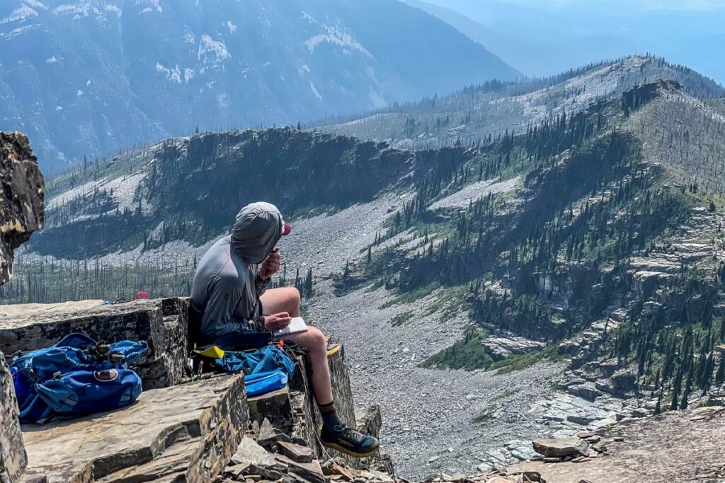
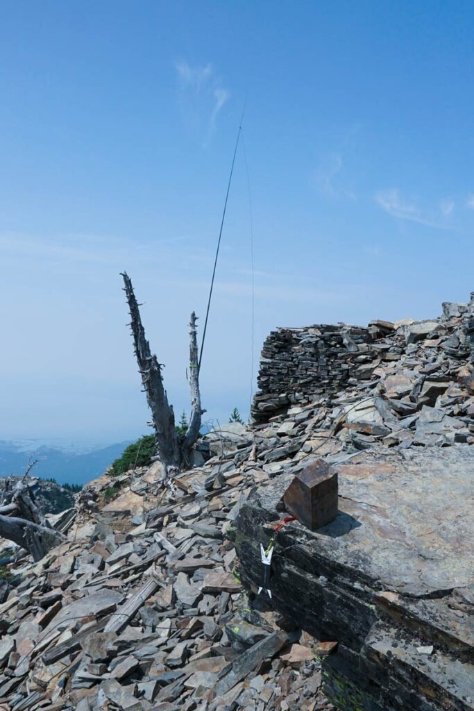
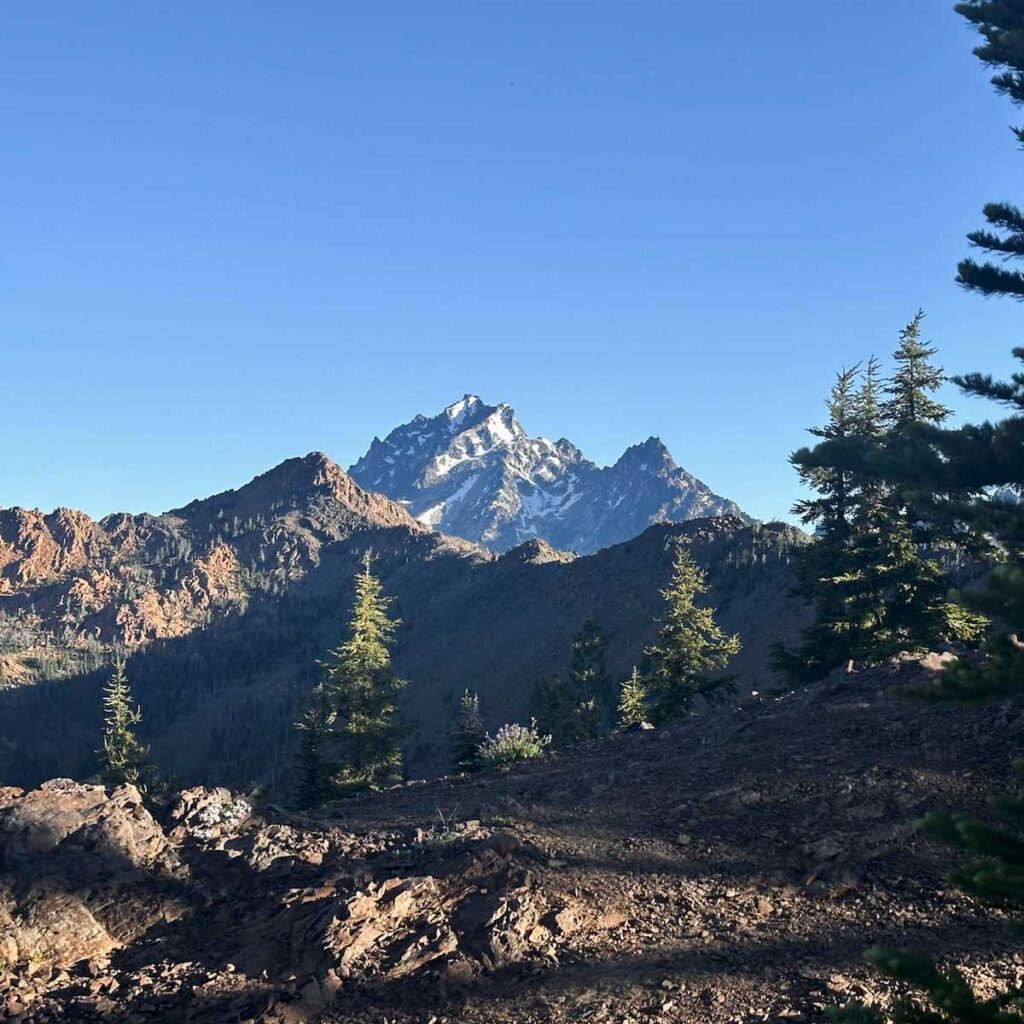
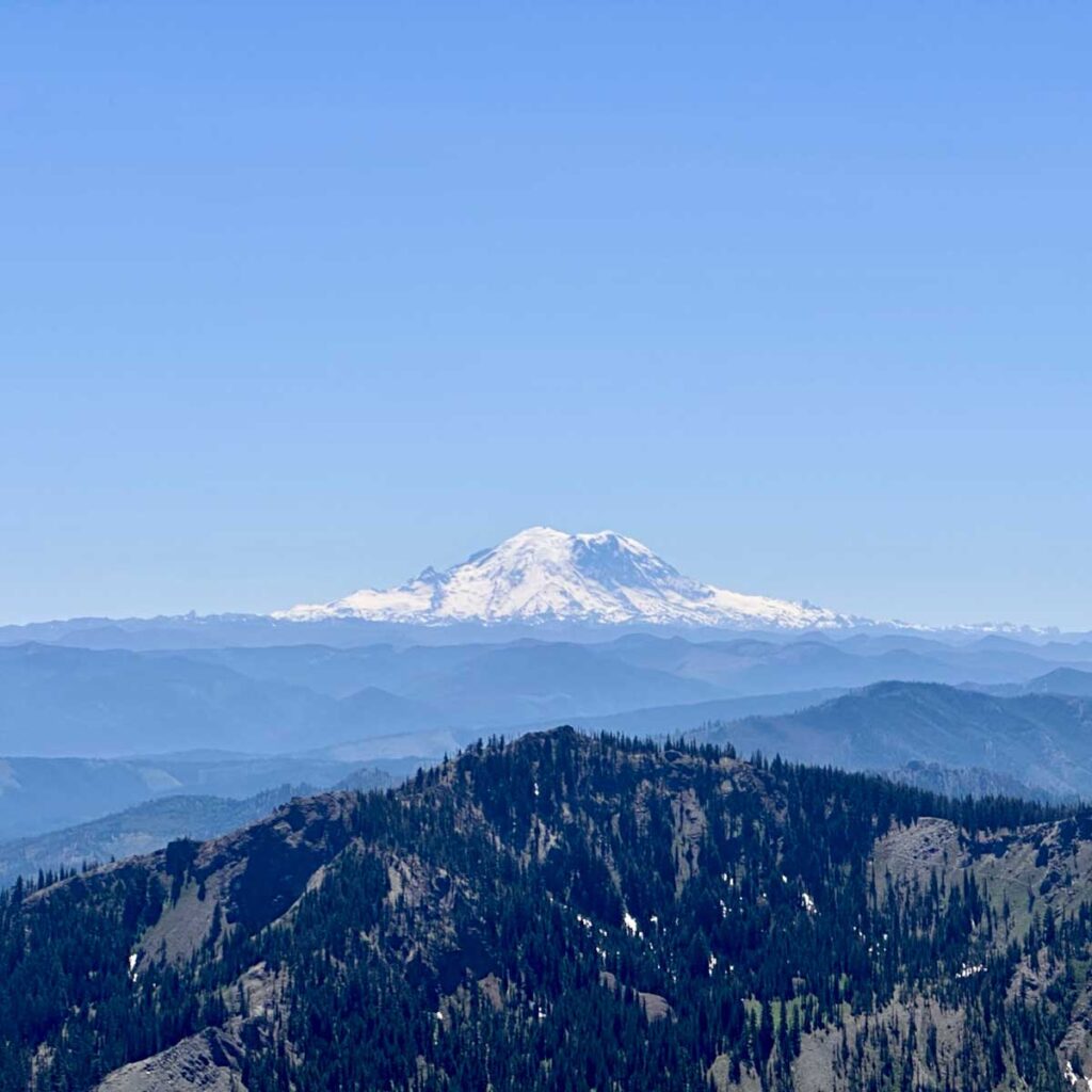
Getting an 8am start, we made our way around the SE of Earl moving through a couple of valleys for 4.8 miles before getting up to Navaho Saddle and meeting the County Line Trail at 6048ft. There we met a badass hiker from Roslyn (I don’t recall her name) who was out bagging peaks with a fast pace. Impressed, we continued on and up to summit of Navaho Peak W7W/CW-008–another steep job. At the top of Navaho, 7220ft, there were some snow spots and it was buggy, but the view was incredible.
Working 20m SSB and 2m FM, the activation was relatively quick and I nabbed 3 summit-to-summits. Thank you to my contacts: N6LY, KK6OO, KB7JB, KB7LYD, KE7JWP, WX7EMT.
The next section, which was not in the original plan but we had to opt for it in lieu of a 26 mile day two, was the Falls Creek Trail. A nice gent coming up the trail as we began to descend told us it was (English accent) “a bit tricky with quite a lot of blowdowns, but if you have GPS you’ll make do. cheers!” He was not bullshitting. This trail was mostly unused and navigation was, oh, tricky. Towards the end as we met up with the much more popular Ingalls Creek Trail, there were a couple of fun shoes-off river crossings.
Night two’s dinner of smoked salmon, some spicy peanut butter ramen, and a shared Snickers bar was well-earned. Early to bed.
Day Three
Exit day, July 6. With some sadness, we broke camp and mentally prepared for returning to civilization. The hike out was amazing; Well-groomed, not terribly steep, lots of waterfalls and just a scenic treat. We stopped about a mile from the top to have lunch and refill water. I asked Tyler if he heard voices and he said my radio was talking—sure enough it was a CQ call from a SOTA activator. I reached out and connected with him, he was up on Red Top Mountain W7W/CW-061 and I was his fourth contact.
The remainder of the hike consisted of a simple climb to the saddle and then a fast-paced descent back to the trailhead. We cleaned up in a nearby river, stopped at a brewery in Cle Elum for a pint and a bite, then headed home.
The weekend was an overall success with some trials, course-corrections, incredible views and relationship-building hours on trail.
Experience can be a harsh teacher and through my first couple of failed SOTA attempts, I learned a lot. Or at least, enough to find a little success. Attempt One was a part of a 12 mile hike in Arizona; I had my Tech license, a XIEGU X5105 and a 20/10 EFHW but no mast. The activation zone was a giant rock so with no trees (or saguaro) and no mast, I tossed the antenna wire over the edge like a rappel rope, spotted myself and started calling CQ. As you guessed, the rock didn’t call back.
Attempt Two was in central Washington, again with the X5105 but this time I had a mast. Once again I spotted myself on 10m and began calling CQ—but it was terribly windy, awfully cold, and I had four other people with me including a six year old who became less interested in things every minute. No dice.
Fast-forward to this past weekend. I’ve since sold my X5105 and made the commitment by picking up an Icom 705, which followed the other effort of earning my General. Now I have the tools, and I have the talent license.
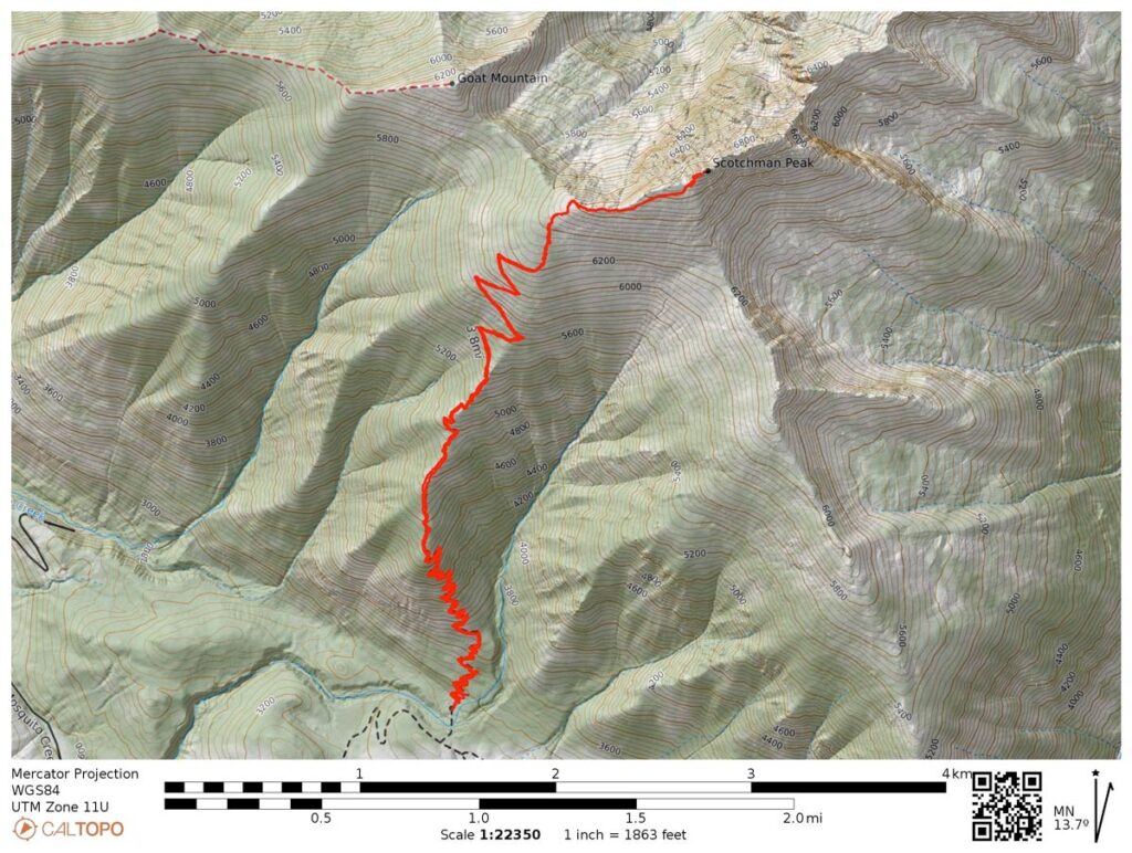
Rather than planning around a monster hike I tried to keep it simple; W7W/WE-022 is close to home and only about 4.5 miles round-trip. Setting up the 20/10 EFHW I spotted myself and started calling CQ on 20m. Not long after I faintly heard a “summit to summit” call (audio is bumped up for the video) and made the contact with N0DNF who, admittedly, was probably doing all of the work but we sorted it out and I got my first activation and the four points.
Stoked that I finally found success and pleased that my very first SOTA contact was a S2S with a Mountain Goat. Looking forward to my next activation this 4th of July on W7W/CW-013.