Miles: 2.66
Gain: 497ft
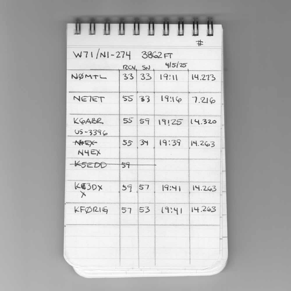
QSOs: 6
Points: 1

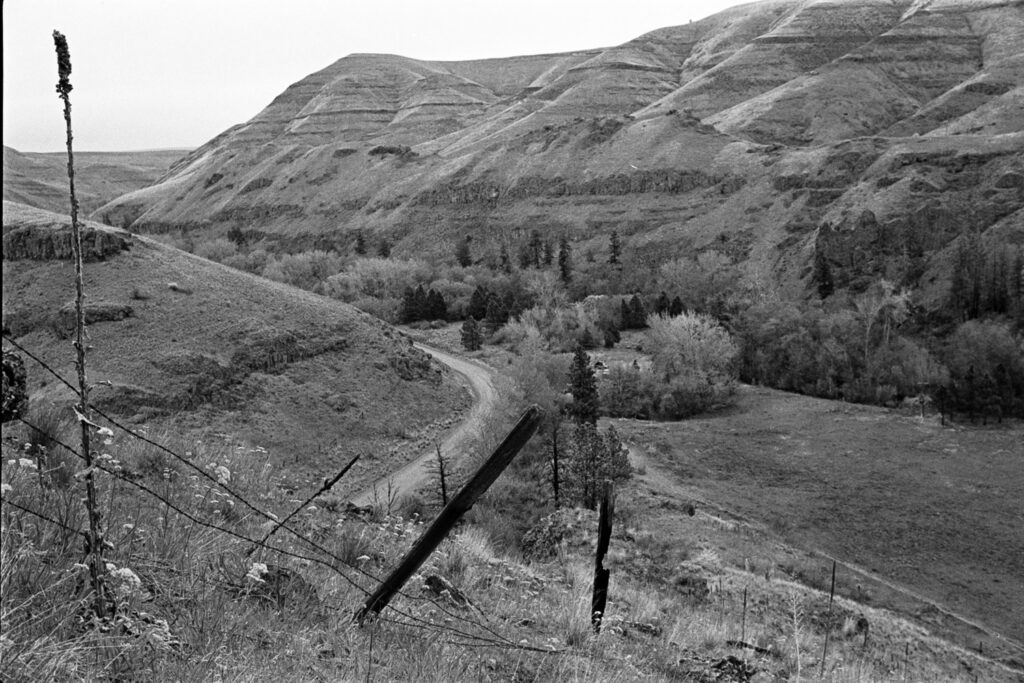
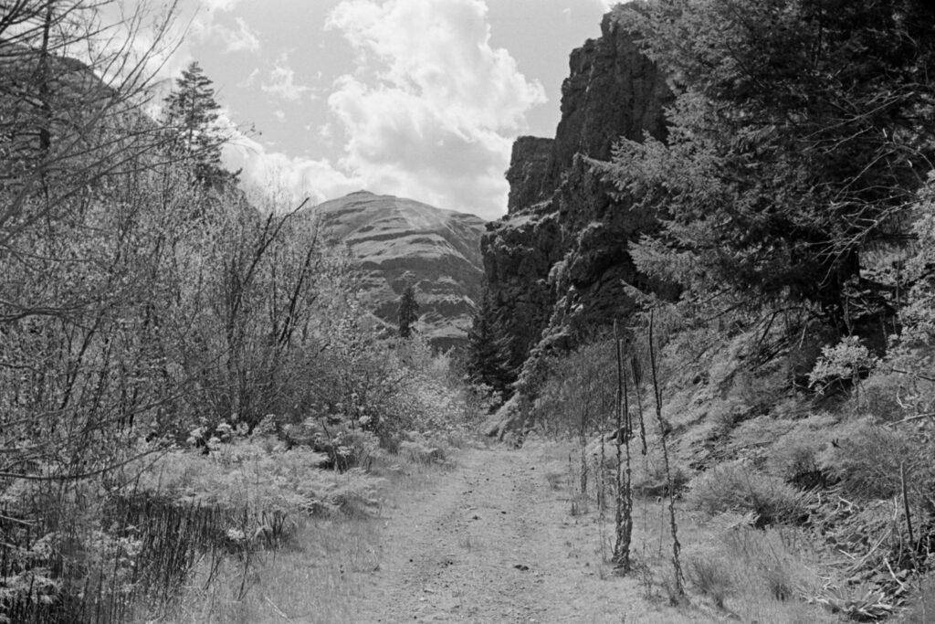
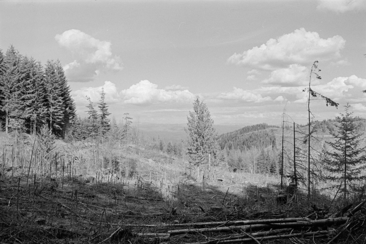
A relatively easy summit to bag, the biggest cost was the time it took drive the Forest Service roads to get to the start. This is Idaho, so it should go without saying that there’s logging activity. I keep thinking I should nab myself a little CB radio so I can monitor the posted channels when I head into these areas.
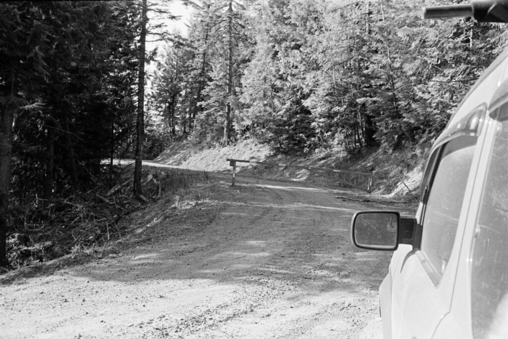
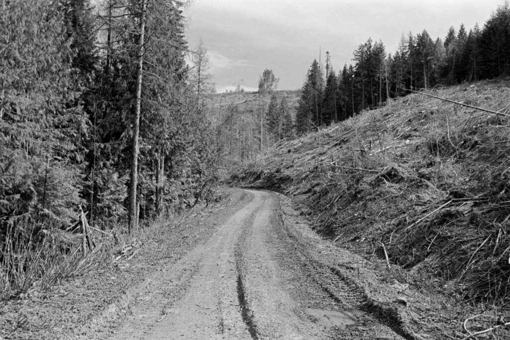
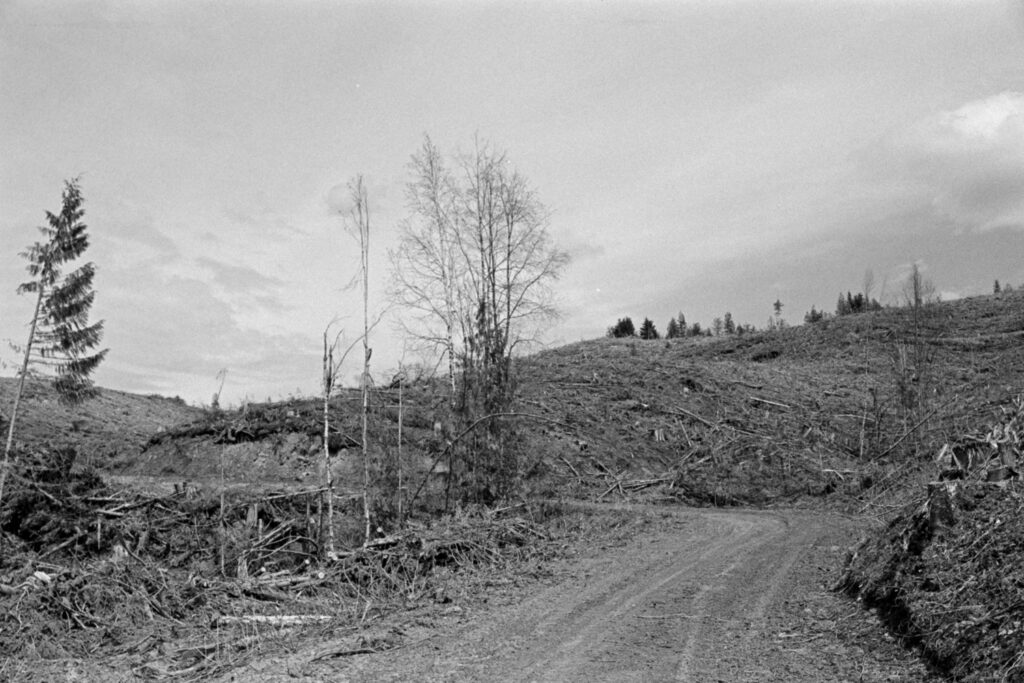
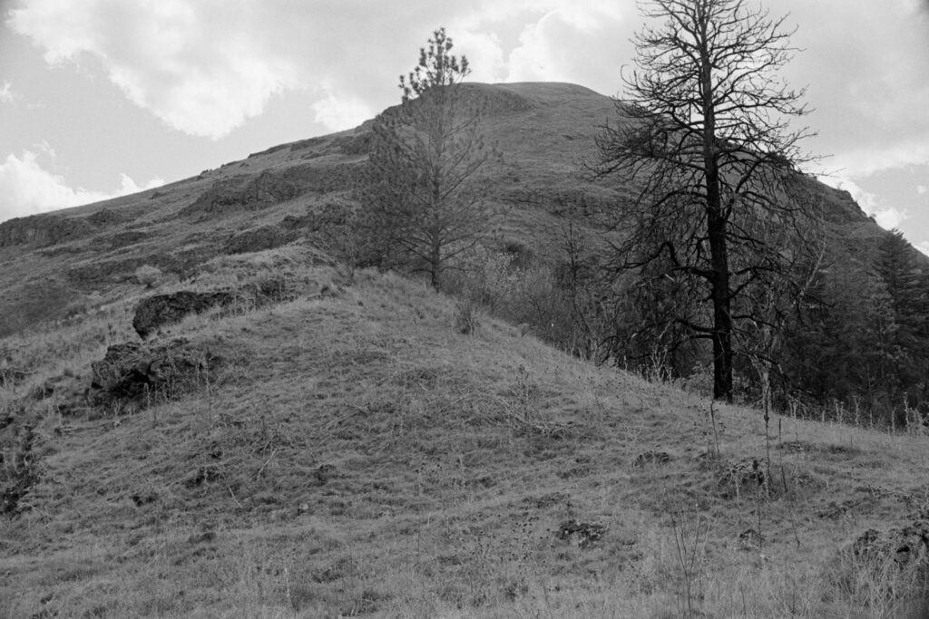
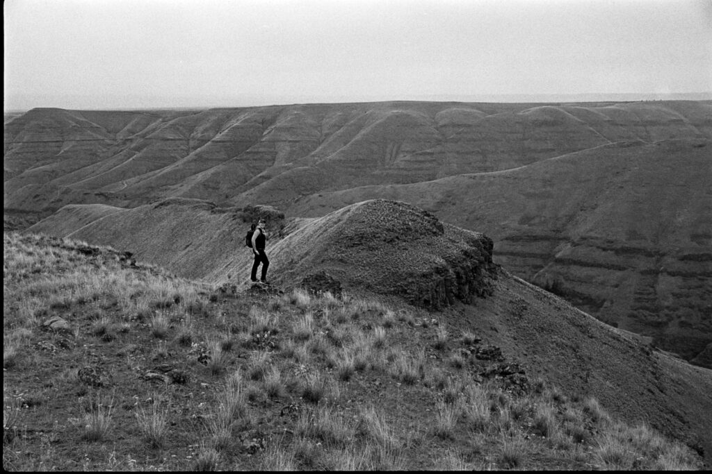
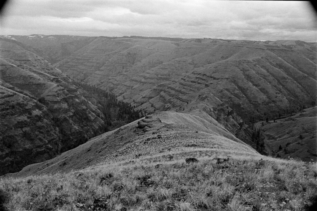
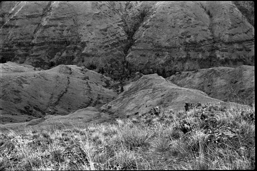
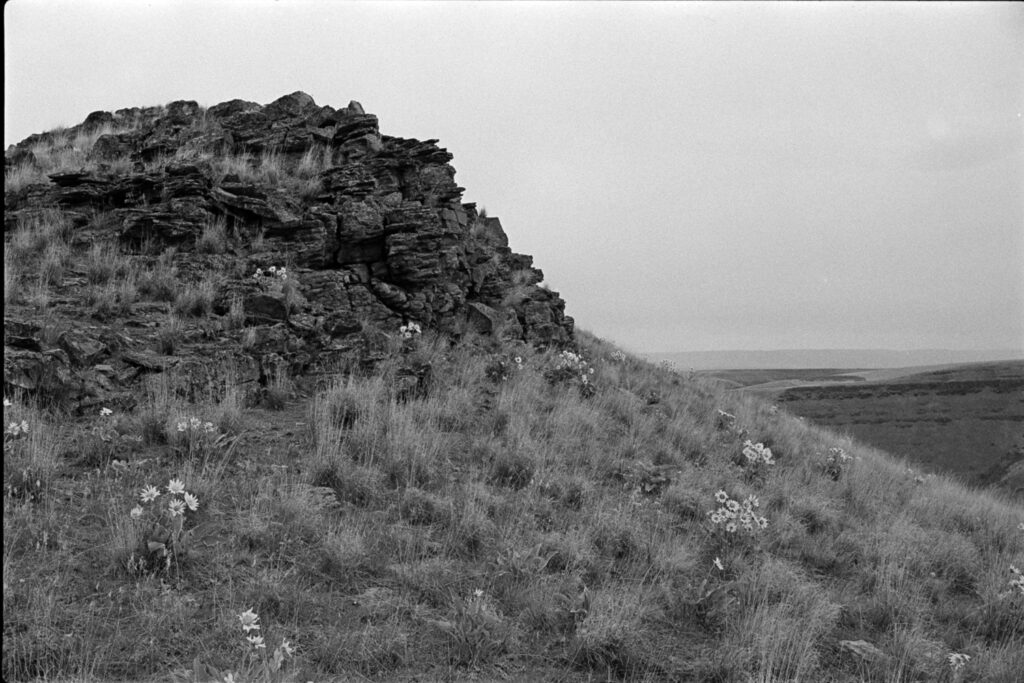
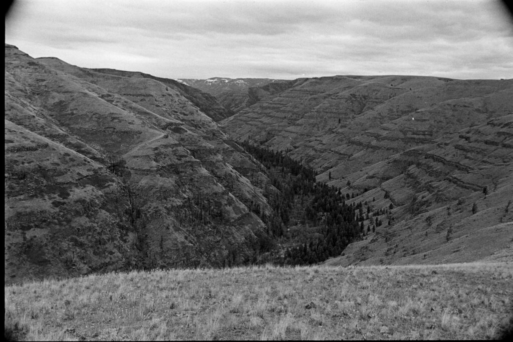
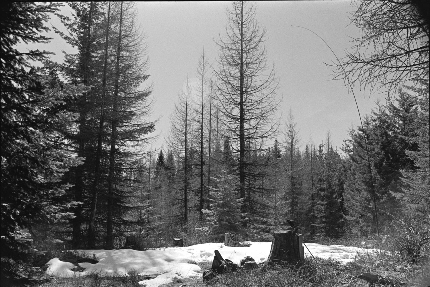
Plenty of parking area at the gated start, there was a nice trickle of fresh snow melt coming off the hillside. The walk in was a gradual climb that’s hardly worth mentioning. Once getting a bit higher, coincidentally where all of the trees are cut down, the views are rather interesting if you can look past the coniferous carnage (pardon my poetry).
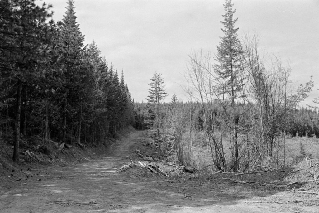
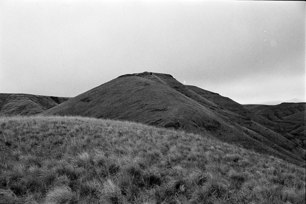
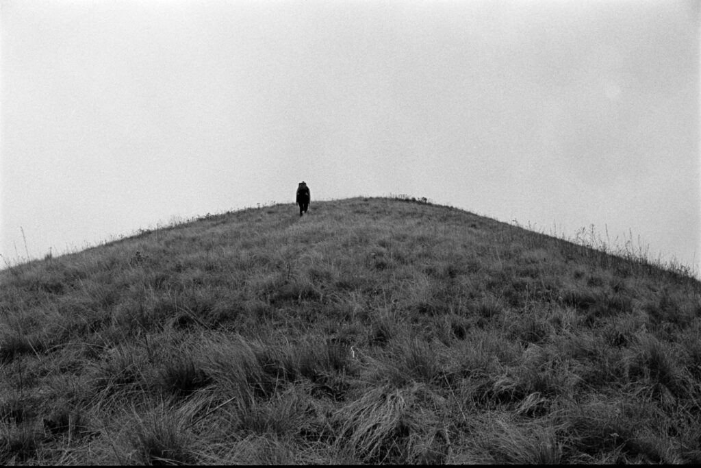
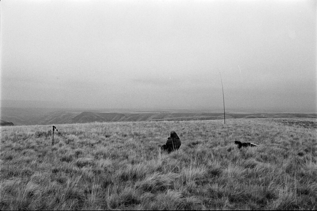
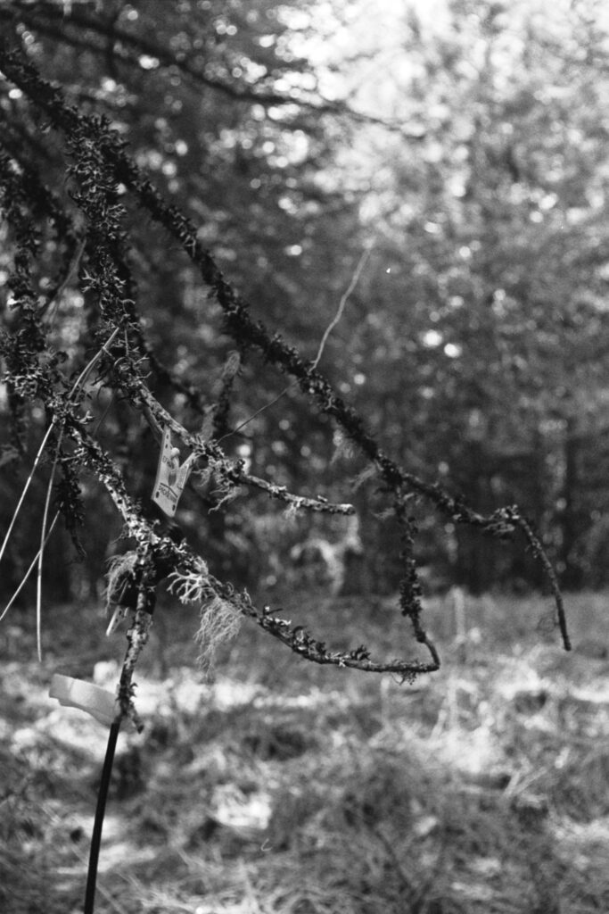
At some point there road turns and you might be tempted to follow it, but going straight through the trees and right up the side of the hill is the quicker option. The true summit was a little difficult to find as the veg was pretty thick and I don’t think the map data is totally accurate. Regardless, I made it to where the GPS pointed me and was within the activation zone, so up the goes the wire.
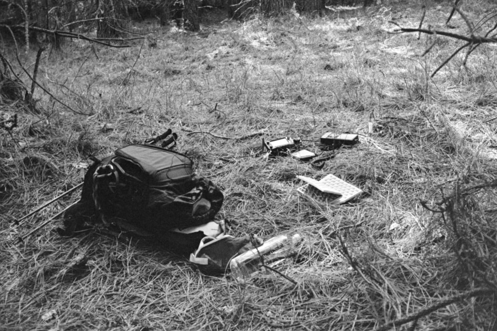
The 20-meter band was BUSY so after answering WD9DWD’s CQ for the Handiham‘s QSO event (a long-distance Idaho to Idaho call), I spotted myself and was greeted by personal chasers N0WAE and WW7D, plus a couple of summit-to-summits which I always enjoy.
Back down the car for a nice drive out and a celebratory pint of Pilsner at Pour Company. Gotta pat myself on the back for a good afternoon touching grass and nabbing another first activation.